Interactive Map at ProPotsdam

An interactive map shows the real-estate projects of ProPotsdam of the past 20 years.

The projects can be filtered by year, area, type, status, investment volume. Users can explore the districts of Potsdam and find out more about the company.

A custom content management system was developed for the editing of the projects.

On permanent display in the foyer of the headquarters of ProPotsdam.

Design of the interactive map in collaboration with Brigitta Bungard.

Foto: Sevens+Maltry

Interactive Map of the UAE at Venice Biennale

uae_national_pavilion_interactive_map_1

A high-resolution interactive multitouch map was developed for the National Pavilion of the United Arab Emirates at the 15th international architecture exhibition – la Biennale di Venezia.

It provides insight into the geography and landscape of the UAE, as well as the diversity in typology of the Emirati National House, also know as the Sha’abi (folk) housing model, applied across the Emirates.

The exhibition is open to the public from May 28 until November 27, 2016.

Further information:
Project documentation
nationalpavilionuae.org
labiennale.org

Travelscope – a visual exploration of the travel freedom attached to passports

travelscope_1

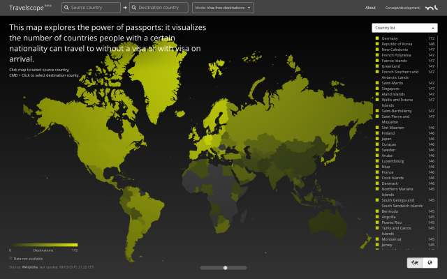
The weight and the travel freedom attached to a passport vary drastically across nationalities. International visa-regulations are very complex and often non-transparent. They reflect the economical and geopolitical situations as well as the relationships of countries.

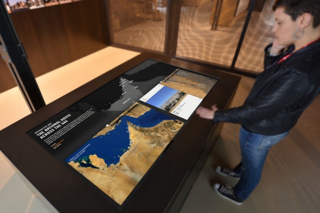
This interactive experiment aims to cast some light on these structures and make it easy to find out which countries an individual of a certain nationality can travel to without a visa or with visa on arrival.

I wanted to create an intuitive and instant way to find out how many countries a certain national can travel to without a visa or with visa on arrival – and which nationals can enter a certain country without a visa.

The web application also features a responsive design and directly works on any iOS device (iPhone/iPad) running iOS 8 or newer and on recent Android versions.

The interactive map is programmed using D3.js and Three.js; the visa data are pulled from Wikipedia in regular intervals.

Online application:
https://www.markuslerner.com/travelscope/