
-
dima
-
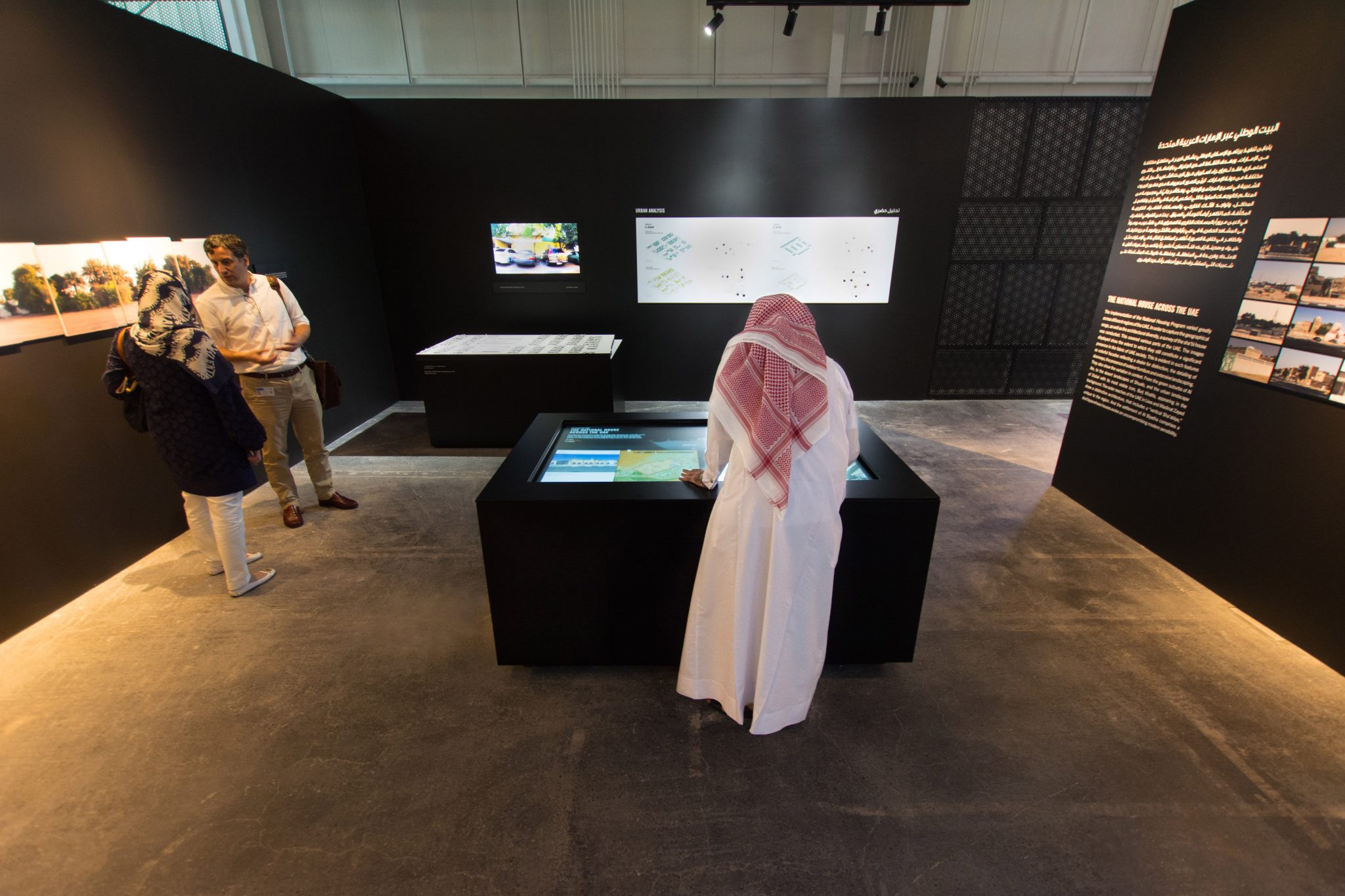
The Emirati National House
The Emirati National HouseInteractive map of the United Arab Emirates, 2016
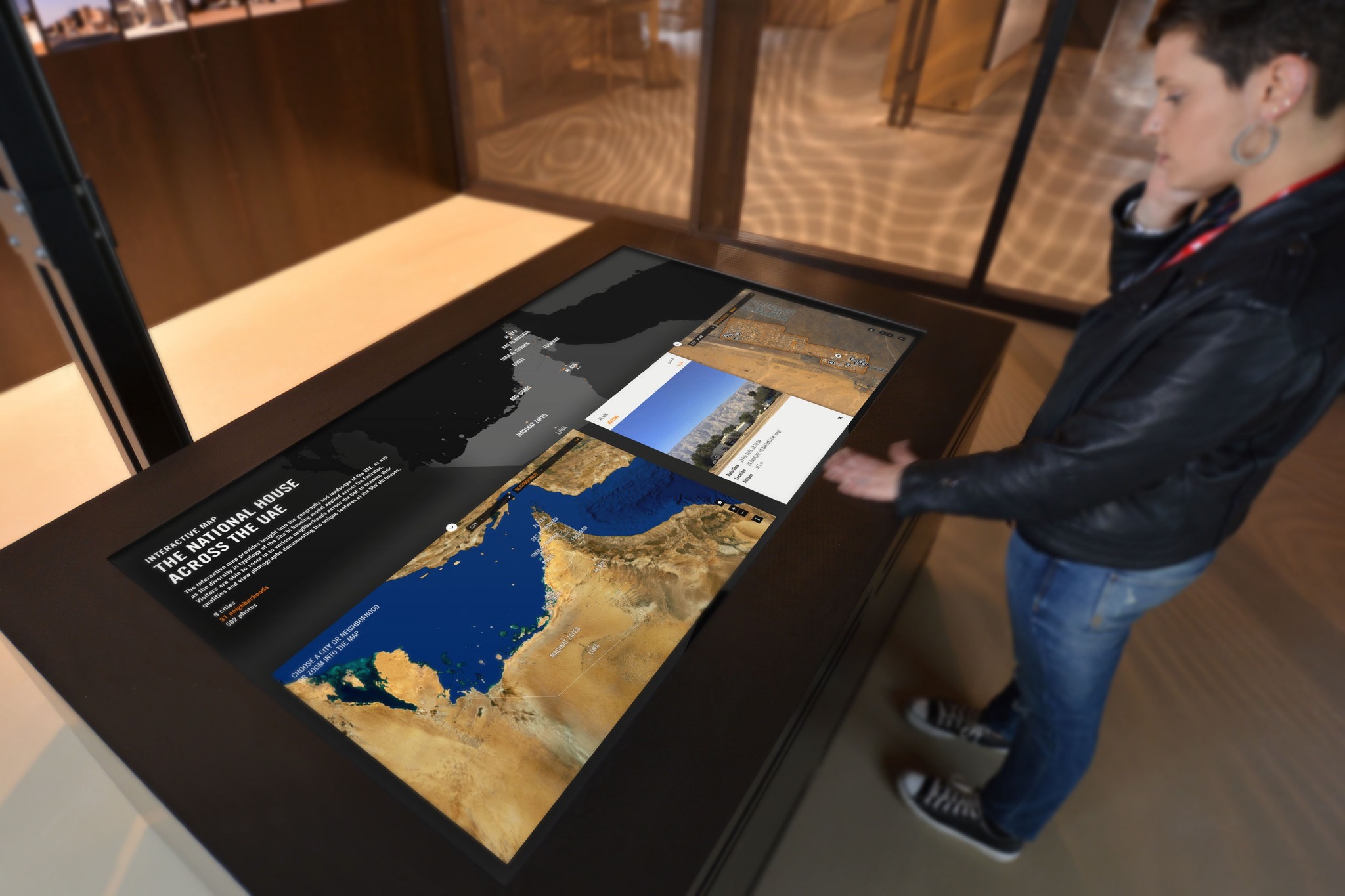
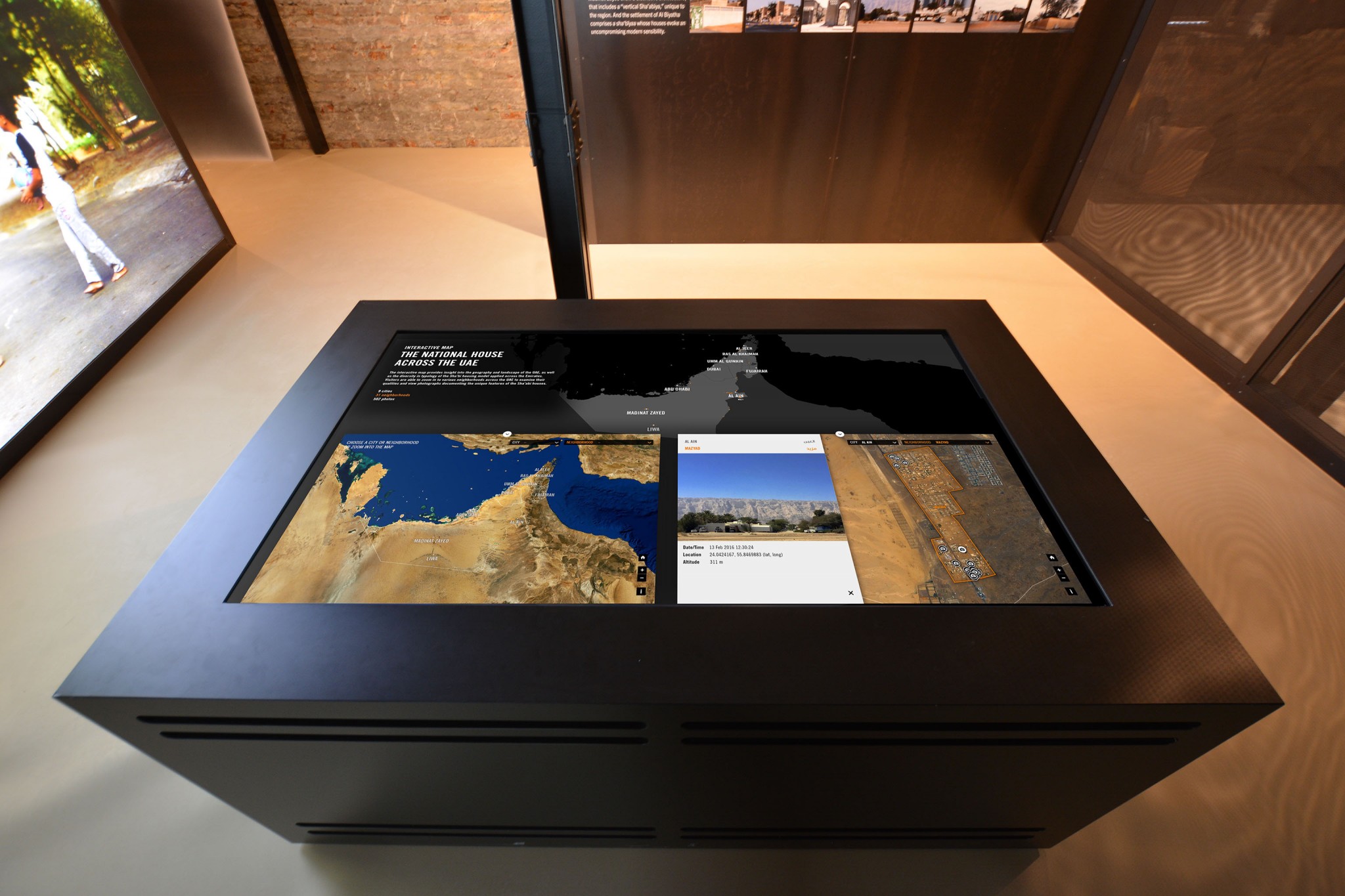
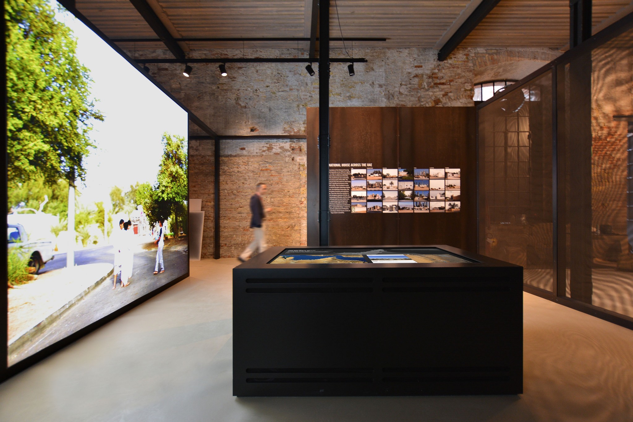
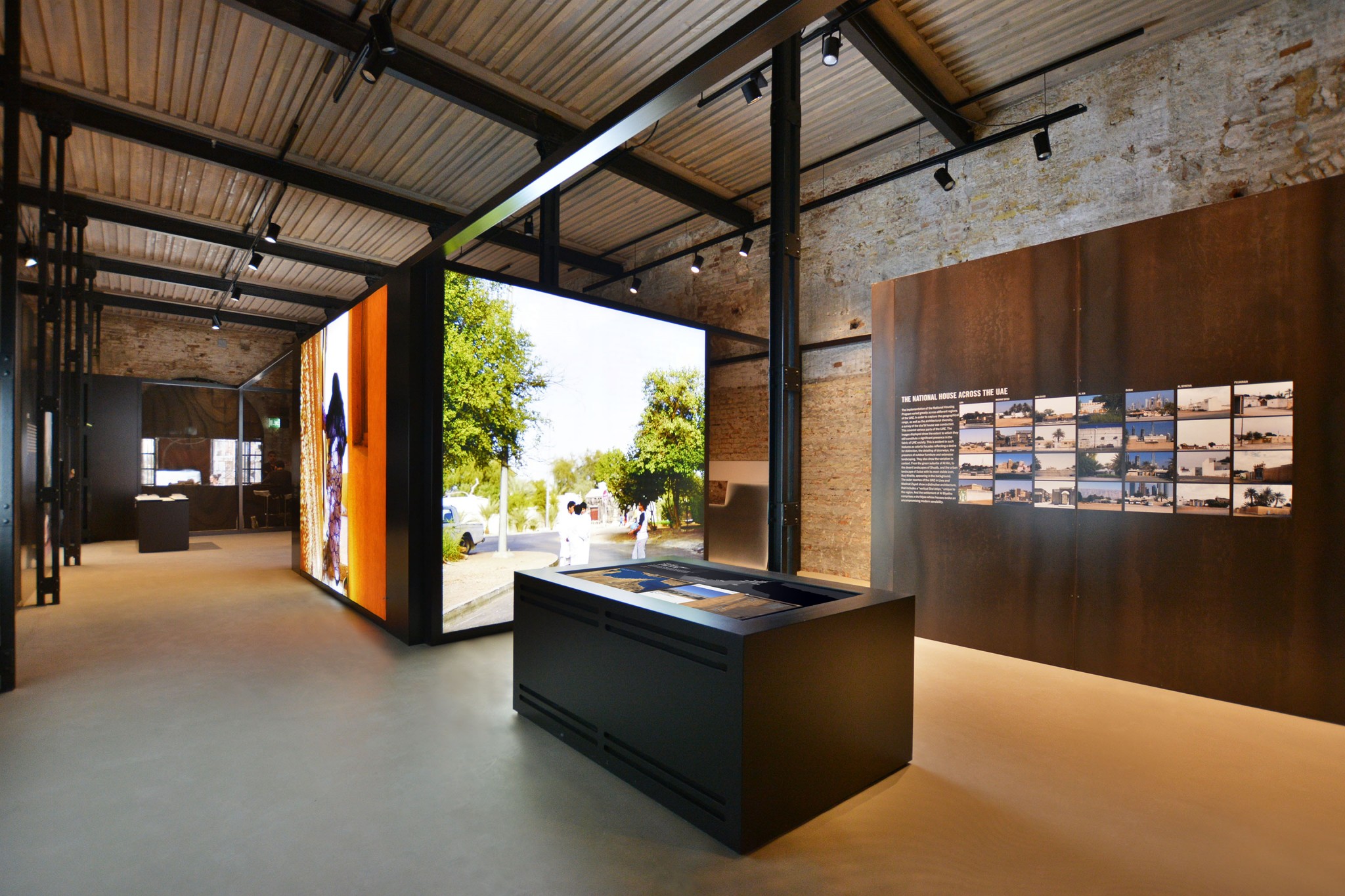
A high-resolution interactive multitouch map was developed for the National Pavilion of the United Arab Emirates at the 15th international architecture exhibition – la Biennale di Venezia.
It provides insights into the geography and landscape of the UAE, as well as the diversity in typology of the Emirati National House, also know as the Sha’abi (folk) housing model, applied across the Emirates.
Multiple visitors simultaneously are able to zoom in to neighborhoods to examine their qualities and view photographs documenting the unique features of the Sha’abi houses. An overview map, where the currently selected map areas are indicated, provides general orientation within the country.
The Emirate National house was introduced in the 1970s to settle transient population and provide modern amenities. Architecturally it was based on a courtyard housing typology derived from traditional precedents. As the resident’s needs evolved, a series of changes took place: functional ones likes the addition of rooms, enlargement of living spaces and the raising of enclosure walls to ensure privacy as well as aesthetic or symbolic ones: replacing entrance doorways and repainting outer walls. These modifications resulted in visual diversity, moving away from a monotonous appearance.
The exhibition curated by Prof. Yasser Elsheshtawy, intents to move the urban housing discourse in the UAE to one that is grounded in the every day life of its citizens.
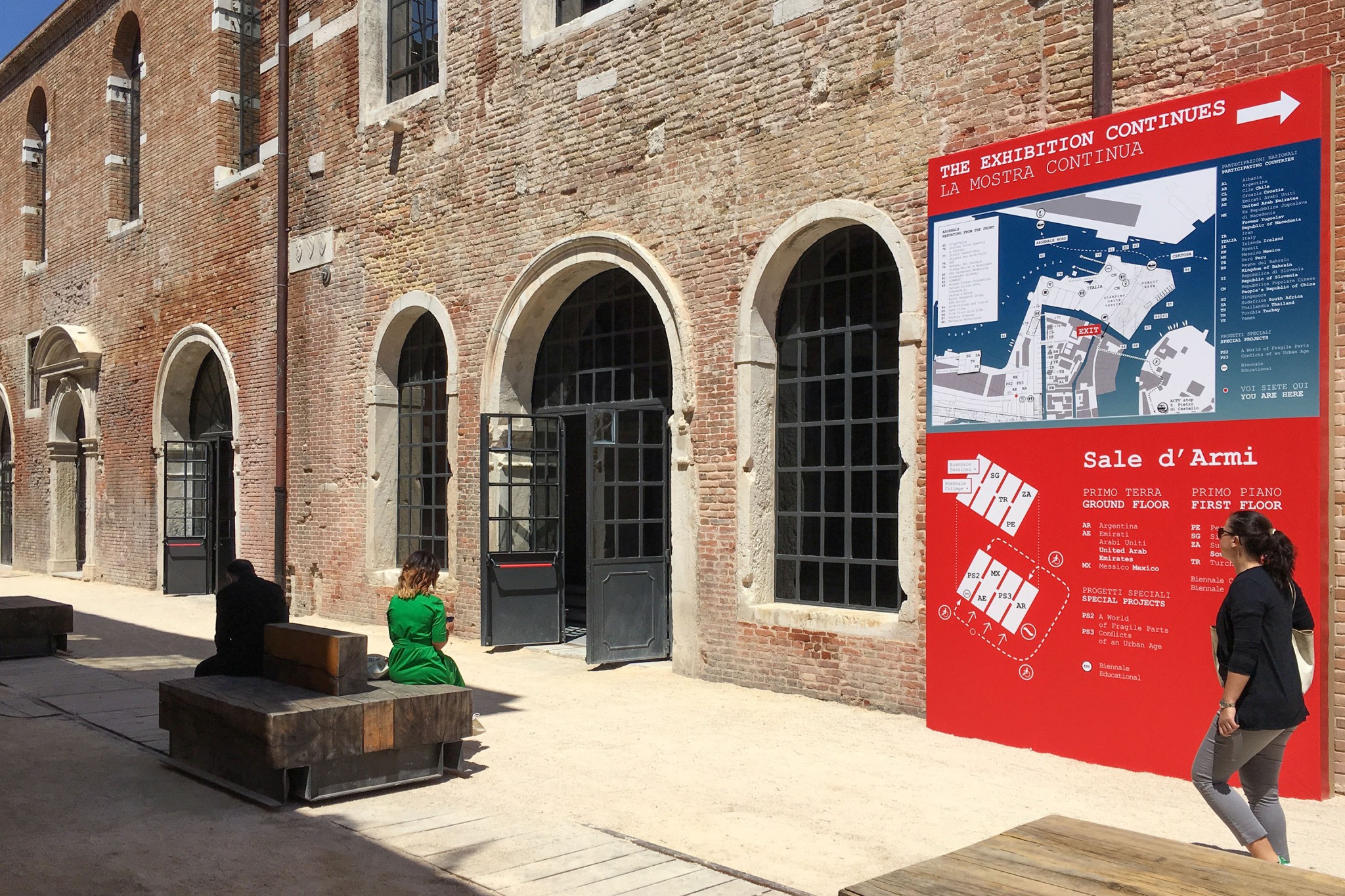
The exhibition is open to the public from May 28 until November 27, 2016.
Update: The interactive map is on display again as part of the exhibition ›Untold Stories Retold‹ at Warehouse421, Abu Dhabi, from 07 March until 24 June 2018.
nationalpavilionuae.org
labiennale.orgWork:
Concept & UI design, hardware planning (65” 4K NEC multitouch display), software development in ReactJS and OpenLayers
- Interactive Map: the Emirati National House at Venice Biennale
- uae_national_pavilion_interactive_map_2
- uae_national_pavilion_interactive_map_3
- uae_national_pavilion_interactive_map_4
- uae_national_pavilion_interactive_map_5
- uae_national_pavilion_interactive_map_6
- Interactive map: the Emirati National House at Warehouse421, Abu Dhabi